|
| *****SWAAG_ID***** | 528 |
| Date Entered | 20/05/2012 |
| Updated on | 22/08/2012 |
| Recorded by | Tim Laurie |
| Category | Settlement |
| Record Type | Archaeology |
| Site Access | Public Access Land |
| Record Date | 19/05/2012 |
| Location | Little Rowleth Pasture. Rectangular House No 4 |
| Civil Parish | Melbecks |
| Brit. National Grid | SD 95905 98375 |
| Altitude | 370m |
| Geology | Sandstone outcrop and talus slope below The Middle Limestone. |
| Record Name | Little Rowleth Pasture. Rectangular Structure No 4 |
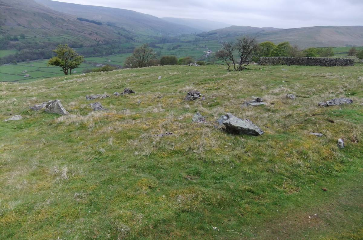
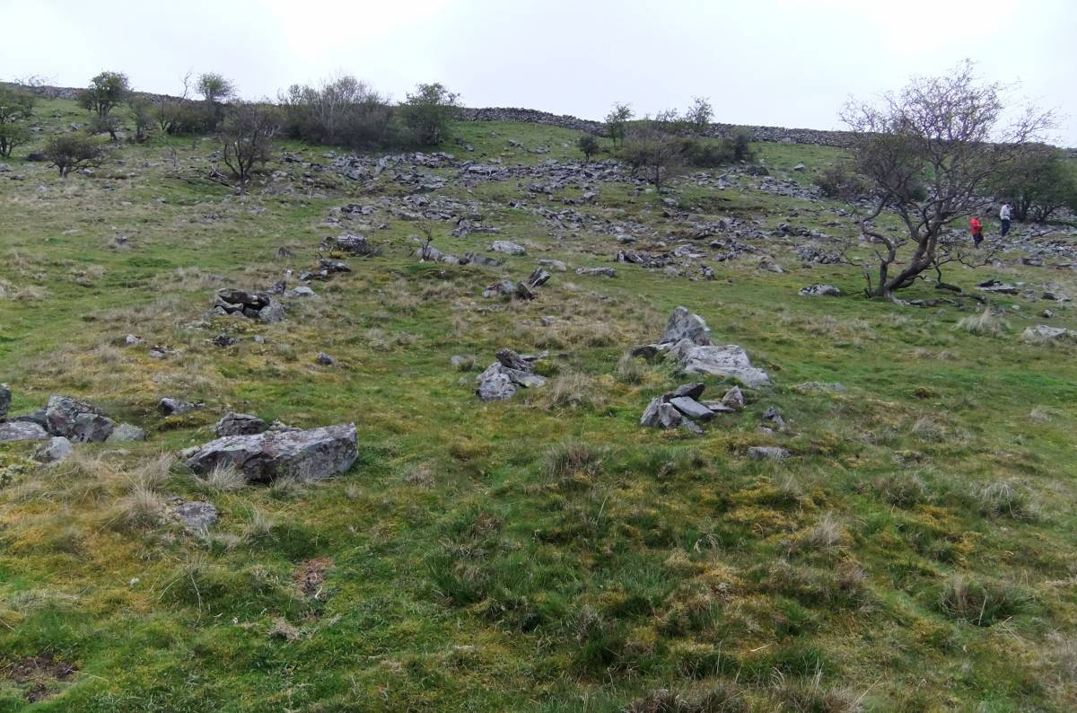
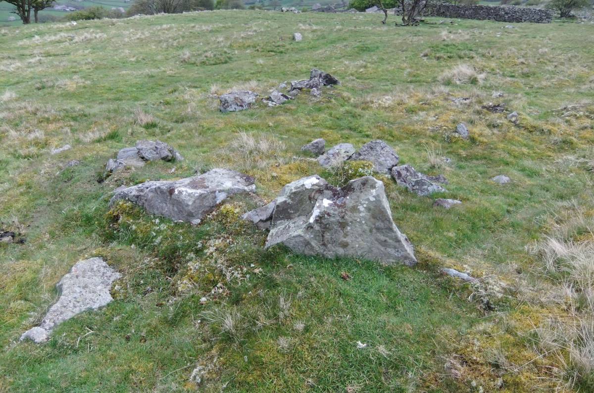
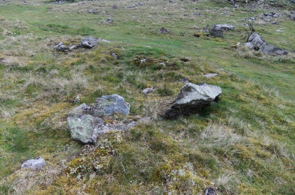
| Record Description | This rectangular structure is the fourth of a total of five similar house or shieling type dwellings with gable end entrances located on or below the 370m contour in steep, rock-strewn pasture in Little Rowleth Pasture between the unfenced road at Bents and Lodge Green. This example, which is slighted by stone removal, measures 12m*6m overall and is located at right angles to the contour in an area of degraded woodland marked by the presence of blackthorn thicket, thorn coppice and woodland indicators. Low Rowleth House No 3 is also interpreted as a pionneering dwelling of Pre-Conquest, Norse character.
See also SWAAG Record No 525 for further notes on the context of this open settlement. |
| Dimensions | 13m*6m approximately |
| Additional Notes | This Record is preliminary to a detailed survey of the whole of Little Rowleth Pasture by SWAAG Members as soon as can be arranged, in the coming months. The siting of these structures is of great interest. The shielings or houses, if this is what they are, are located on a steep high slope (at around the 370m contour) in what was recently woodland and which is, today, very poor rough rock strewn pasture. Immigrant norse farmers looking to settle at the head of Swaledale in a landscape where all the better land was already occupied may have needed to settle at first and until assimilated within the local population on the only land available, ie high, poor, marginal land which was then almost certainly woodland as the presence on this hillside of ancient relict thorn coppice, elder, bluebell, arum, primrose and dogs mercury all indicate. This open settlement is well situated to afford access to the good grazing available higher upslope on the on the Middle Limestone which outcrops above the sandstone. The presence of well defined trackways leading to the higher pastures reinforces a pastoral occupation here. |
| Image 1 ID | 2921 Click image to enlarge |
| Image 1 Description | Little Rowleth Pasture Settlement, House No 4 |  |
| Image 2 ID | 2922 Click image to enlarge |
| Image 2 Description | Little Rowleth Pasture Settlement, House No 4 | 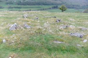 |
| Image 3 ID | 2923 Click image to enlarge |
| Image 3 Description | Little Rowleth Pasture Settlement. House No 4 |  |
| Image 4 ID | 2924 Click image to enlarge |
| Image 4 Description | Lower end with entrance. | 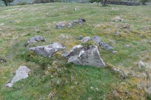 |
| Image 5 ID | 2925 Click image to enlarge |
| Image 5 Description | Top corner. | 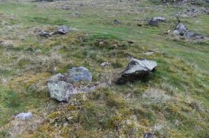 |